Environmental geophysics
Magnetometer transects calibrated against USGS reference data. Rock observations, magnetic susceptibility, and water-quality measurements are tied to documented field stations.
A field method is useful only when its observations can be traced, tested, challenged, and repeated.
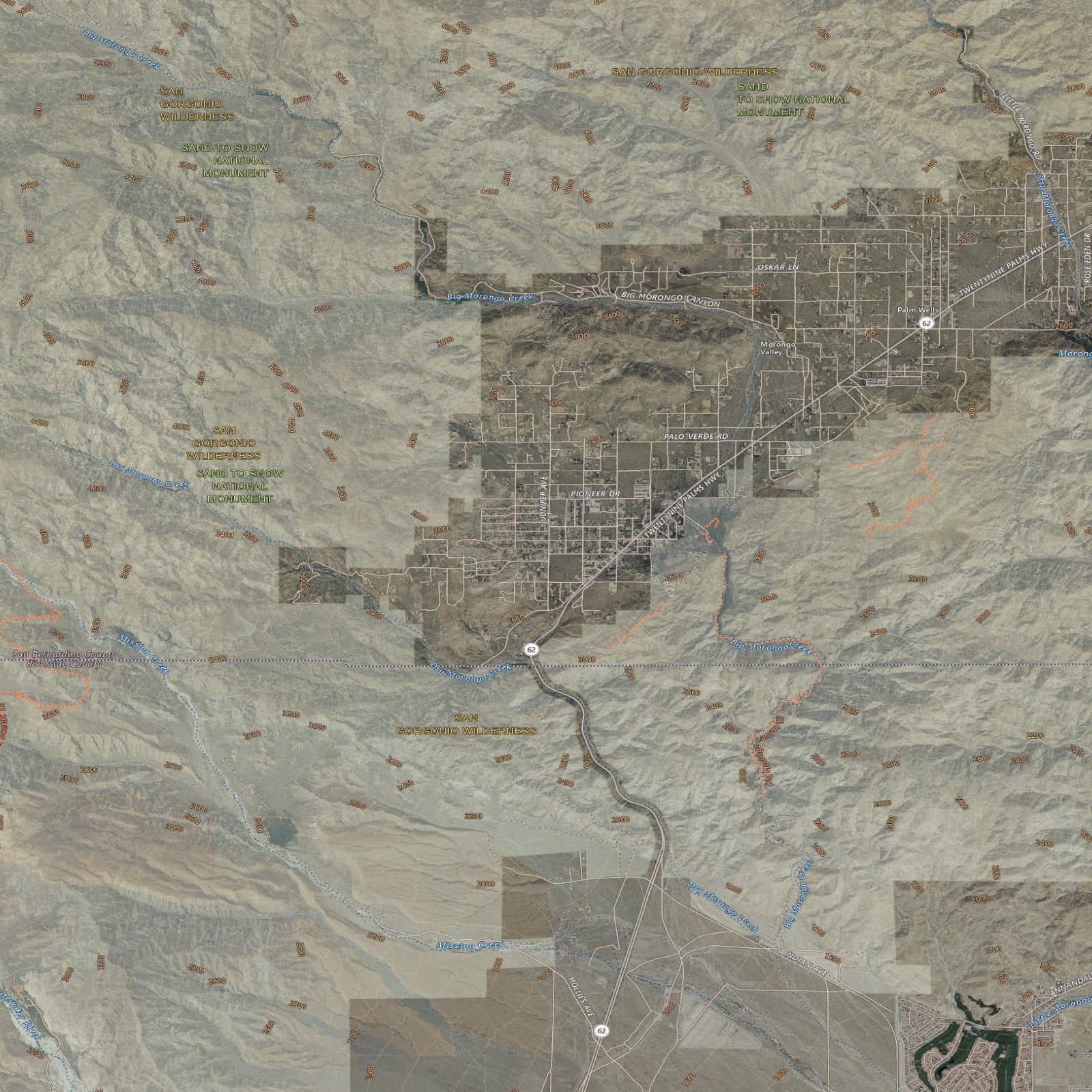
The field program begins in Morongo Valley with terrain, fault, ecology, and access context. Final station locations remain subject to field reconnaissance, safety review, and land permission.
Measurable, repeatable, and shared with the people who steward the land.
Every claim backed by a mechanism.Methods connect geophysics, ecology, community health, and systems science while keeping validated measurements separate from exploratory hypotheses.
Magnetometer transects calibrated against USGS reference data. Rock observations, magnetic susceptibility, and water-quality measurements are tied to documented field stations.
GPS-stamped soil observations, fungal microscopy, moss documentation, ant census work, and camera traps build a repeatable picture of ecological change.
HRV and cortisol methods remain inactive until ethics review and informed-consent approval. Human-participant data will be de-identified by design.
Documented measures test how ecological and human networks behave. Exploratory relationships remain hypotheses until replicated with appropriate controls.
Claims change when the evidence changes.
Each stage produces something useful before the project adds physical or organizational complexity.
First 50 GPS-tagged points · magnetometer transects · ecological survey · public field log preparation
150 survey points · water-quality baseline · ecological network mapping · ethics-review preparation
Sensor network · growing trial · camera traps · first annual open dataset
Second survey cycle · land-manager workshops · replication protocol · manuscript preparation
Public protocols and de-identified outputs live here. Partner planning, fabrication, finance, and unreleased working documents do not.
HRV, cortisol, control matching, and statistical plan. IRB approval pending.
DOWNLOAD WORKING DRAFT ↘Consent language prepared for independent ethics review before participant work.
DOWNLOAD WORKING DRAFT ↘Soil, fungal, moss, ant, and camera-trap methods in preparation.
PROTOCOL / IN PREPARATIONDe-risked field observations published after collection and quality review.
DATASET / PENDING FIELD COLLECTION